Class 5
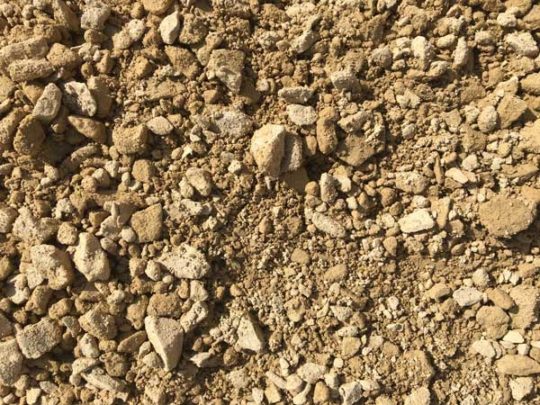
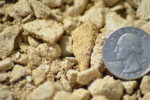
Class 5 generally contains less clay than class 1. Consisting of rock, sand, and clay. Class 5 is primarily used for building foundations, parking lots, driveways, and asphalt. Use this for your home project or get a truckload out to your cabin to build a driveway or a walking trail.
- Used effectively for temporary and permanent roads
- Creates sturdy and easily traverse-able paths
- Contractor favorite
- Works well for natural looking paths
- Voted worst doritos flavor
If you need help finding out your total cubic yardage use one of our calculators below!
Aerial Map Calculator
Area Totals
Current Area
0 ft2
Total Area
0 ft2
Total Measurement: 0 cubic yards
Square Footage Calculator
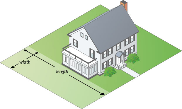
How to measure your area.
Total Measurement: 0 cubic yards
How To Measure
Square or Rectangle
Measure the Length & Width and multiply.
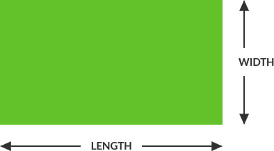
Length x Width = Area
(12’ x 24’ = 288 ft2)
Right Triangle
Multiply the two sides that contact the right angle and divide by two.
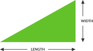
Length x Width / 2 = Area
(12’ x 24’ = 288 ÷ 2 = 144 ft2)
Circular
Multiply the radius with the radius then multiply by 3.14. Radius is a straight line from the center of a circle to the outside of the circle.
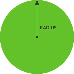
Full Circle:
(Radius x Radius) x 3.14 = Area
(6’ x 6’ = 36 x 3.14 = 113 ft2)
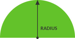
Half Circle:
Divide full circle radius by 2
(6’ x 6’ = 36 x 3.14 = 113 / 2 = 56.5 ft2)
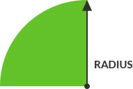
Quarter Circle:
Divide full circle radius by 4
(6’ x 6’ = 36 x 3.14 = 113 / 4 = 28.25 ft2)
How to use map
- Enter an address
- Define the area you wish to add by clicking multiple times around the map. You may delete points by clicking the “delete last point button”.
- If you have multiple areas to define within the map, simply click, “Start a new Area” to start a new section. All areas defined on the map will be added together to create a complete measurement.
- The total measurement will display below the map.
